
St. Charles Previous Residents by Era
For previous residents, begin by choosing the record that fits the time period. The current parcel links to a Recorder deed chain. Dated directories and census schedules add household clues. Maps and permits describe the building or lot. Each source should retain its own date and limitation. A deed proves a recorded transaction, but it does not show that the buyer lived at the address for the whole ownership period.
| Source | Years it covers | Where held | What it can show |
|---|---|---|---|
| Laredo index | January 1, 1972 to the service's last verified date | County remote service | Indexed parties, document types, recording dates, legal or location fields, and image links |
| Laredo images | November 16, 1804 to the service's last verified date | County remote service | Recorded instrument images, subject to index and service limits |
| Recorder books and microfilm | Older local record books; exact shelf cutoff not located | Recorder counter, free terminal, archives, or Society | Deeds, plats, and instruments reached through index books and legal descriptions |
| City and reverse directories | Exact St. Charles runs not located | Library, Society, catalog, and authenticated databases | Address-to-household clues, names, and dated cross references |
| Federal census | 1790 to 1950 public | NARA and library databases | Household at the enumeration date, with fields that vary by year |
| Sanborn maps | St. Charles May 1917 set | Library of Congress | Lots, footprints, materials, streets, hydrants, and nearby structures |
Older clues should be placed beside the ownership chain, not substituted for it. The Library of Congress map can show a building context, while a directory entry can suggest an address connection. Neither is a recorded transfer. Exact local directory years must be confirmed with the library catalog or Historical Society before assigning someone to an address.
Start St. Charles Previous Residents at the Parcel
Open the current address in St. Charles County GIS Mapping, select the parcel, and copy the situs address, parcel or account number, legal description, subdivision, and lot or block. Then check the Assessor card for the current assessment owner, property address, tax mailing address, valuation history, and structure details. Keep the tax address in a separate column. It is a correspondence address and may be a trust, lender, business, or a location outside the county.
The legal description is the durable bridge between a modern map and older deeds. It may be a subdivision with lot and block, or a section, township, range, or metes-and-bounds description. When a house number or street label changed, the legal description and parcel history give the Recorder a more stable search path. Assessment ownership can lag a recorded sale, so compare it against the newest deed before deciding which person starts the backward trail.
Note: Preserve the property address, mailing address, parcel number, and legal description as separate facts because each is supplied for a different county purpose.
St. Charles Previous Residents and Laredo
The Recorder's Laredo agreement gives the online index a January 1, 1972 start, while describing document images from November 16, 1804 through the service's last verified date. That is a useful local history clue, but it is not a promise that every early record is indexed, complete, or easily found by name or address. Use the online result to locate a recorded document, then read the image and its legal description before adding it to a previous-residents timeline.
The Recorder offers free public research on the third floor Monday through Friday from 8:00 a.m. to 4:30 p.m., with $1-per-page prints. Tapestry is paid per search, and Laredo is subscription access. For a hard-to-find era, move from the remote result to the free terminal, index books, microfilm, or deed books. Mail and copy requests are additional Recorder channels. A Missouri Sunshine Law request may be appropriate when a county-held public record is not accessible through the index.
The St. Charles County Land Records page documents the Recorder's counter and remote research options shown here.
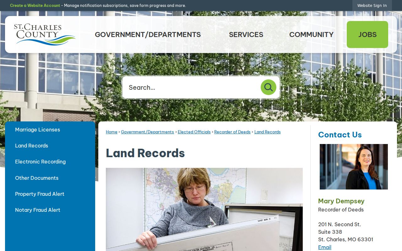
The free counter is especially useful when an early online search is incomplete. Record an instrument number, book and page, the precise legal description, and any associated document reference before moving to the next deed.
Trace a St. Charles Deed Chain
A deed chain works backward through a transfer. Search the current assessed owner as a grantee, open the latest purchase deed, and identify the earlier grantor or seller. Then search that seller as a grantee in an earlier range. Repeat the process while carrying forward the legal description. Name spellings, initials, punctuation, and entity names can vary, so the parcel and legal field help avoid a false match.
- Copy the current parcel, assessed owner, situs address, subdivision, lot or block, and legal description from GIS or the Assessor.
- Search the Recorder by address, parcel, or legal description. If the street form fails, try subdivision and lot or section-township-range.
- Open the latest purchase deed and record the grantor, grantee, recording date, instrument number, document type, Certificate of Value or consideration clue, legal description, and associated documents.
- Search the prior grantor as a grantee in an earlier period, then repeat the same record capture for each recorded transfer.
- When the online index is not enough, use the Recorder terminal, index books, microfilm, library access, Historical Society resources, or a focused public-record request.
- Grantor
- The party transferring an interest in a recorded instrument, often the seller in a deed.
- Grantee
- The party receiving an interest in a recorded instrument, often the buyer in a deed.
- Chain of title
- The sequence of recorded transfers connected through the same legal parcel description.
- Legal description
- The recorded land identifier, such as a subdivision lot and block or a metes-and-bounds description. It can survive address changes.
St. Charles Previous Residents Before 1972
For years before the Laredo index begins, do not treat a no-result screen as an empty history. The Recorder's office research resources, index books, microfilm, and deed books are the next land-record channels. The Historical Society, library, FamilySearch access at the library, Missouri State Archives, and a focused records request can help bridge a missing online path. Exact Recorder shelf cutoffs were not located, so ask the office which index book or microfilm series fits the deed date.
St. Charles County was established in 1812, and the Recorder's early image date sits alongside a much shorter online index. That split is why older property research is often a two-part task. Locate a current legal description online first, then use it in the in-person or archival search. Avoid filling an apparent gap with an assumed prior resident when a record has not been located.
Pair St. Charles Previous Residents With Directories
After each recorded ownership interval is dated, look for a household clue from the same period. The Kathryn Linnemann Local History and Bizelli-Fleming collection, library genealogy resources, and Historical Society are the local shelf and research-request paths. The library identifies city and area directories through its licensed genealogy products, but the exact St. Charles directory run and a confirmed local reverse-directory year set were not located online. Verify a volume's title, publisher, year, scope, page, and abbreviation key before using it. The St. Charles Directory Book focuses on confirming those collections.
- Find the address in a dated city or reverse directory, if a catalog or authenticated scan confirms the volume.
- Check the alphabetical entry for spelling variations, a spouse notation, a forwarding clue, or a second address.
- Pair the directory date with the nearest public federal census image, remembering that publication, move, and census-enumeration dates differ.
- Use an obituary, probate file, newspaper notice, or later deed to explain a final appearance or a gap in the address trail.
Federal census schedules are public through 1950 under the 72-year rule. Missouri Archives also provides mixed territorial, state, federal, special-census, and tax material, with series-dependent fields. Most 1890 federal schedules were destroyed, so an apparent household gap around that period needs a different source, not a guessed match.
St. Charles Previous Residents on 1917 Maps
The Library of Congress provides a free public May 1917 St. Charles Sanborn set with 17 sheets. A sheet can show streets, lots, building footprints, construction materials, uses, hydrants, and adjacent structures. It is valuable for checking whether a building or lot arrangement existed in the period, but it does not identify who lived inside. Use the map beside a directory, census, deed, or newspaper record.
Public city permits can add a later construction or alteration event when the address falls within the responsible municipality. Search the current service address, then compare it with the legal parcel and GIS city field. Permit coverage dates and detailed result fields were not verified, and a city permit may be routed differently when a postal St. Charles address lies outside the City of St. Charles.
St. Charles Previous Residents and Family History
House history often becomes family history when a prior owner, estate, or address entry points to an obituary, probate file, church record, or local newspaper. The St. Charles County Historical Society has more than 200 years of collections, including property records, wills and probate, obituaries, burials, maps, photographs, mid-19th-century newspapers, court material, and family papers. Its indexes are not all online, so a research request can be the practical route for an address or surname that a portal does not return.
The St. Charles City-County Library genealogy page explains the local-history and database starting points shown in this image.
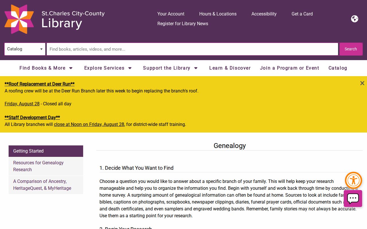
Library access is divided between in-branch and authenticated resources, and access terms can change. A planned Heritage Center move may also shift local-history volumes, documents, and microfilm from Kathryn Linnemann, so confirm the current location and hours before making a research visit.
Limits on St. Charles Previous Residents
Previous-residents research can establish a documented ownership trail and dated household clues. It cannot turn deeds into proof of continuous residence, turn a tax mailing address into an occupancy record, or reveal protected addresses and other closed personal information. A corporate grantor may have no personal address trail. An estate may identify heirs in probate rather than in the deed. Split or combined parcels, pending recordings, and changed house numbers can create real gaps that should remain labeled as gaps.