
St. Charles Neighbors Block Record Coverage
Public sources describe a St. Charles block in layers. The map establishes parcel geometry. The Assessor identifies the assessment record attached to each parcel. The Recorder can confirm a recorded ownership transaction. Voter, permit, directory, and district records add narrow context when the rules permit access. A block search is strongest when each source is kept in its own lane, because a mapped property, a mailed tax bill, and a person’s residence do not mean the same thing.
| Source | What It Shows About a Block | Access |
|---|---|---|
| County GIS parcels | Parcel boundaries, adjacent lots, addresses, district layers, and aerial context | Public map and service. |
| Assessor cards | Each parcel’s owner, mailing and situs fields, value, and structure data | Portal, counter, or phone; not a household roll. |
| Recorder deeds | Ownership transactions and legal descriptions for nearby parcels | Free counter or paid remote access; index and image coverage differ. |
| Voter records | Permitted public name, year, address, and district fields where a request qualifies | Election Authority or lookup, subject to protected records and use limits. |
| City permits and code | Address-linked work, inspection, sign, zoning, or maintenance events | Tyler search, request, or call; detailed coverage is not verified. |
| Historical directories | Prior occupants and period address entries | Library, Historical Society, or databases; exact directory runs need confirmation. |
| Sanborn and aerial sources | Building footprint, lot, street, or land-use change | Library of Congress, Historical Society, or GIS. |
| Public districts | School, fire, water, sewer, voting, and neighborhood geography | County Political Subdivisions and GIS. |
A parcel owner may be a trust or entity. A voter may be protected. A directory occupant may have moved or died. A current household member may not appear in any of these records. Those distinctions are the core of a careful St. Charles neighbors search.
Note: Record the source and date for each block fact, because parcel, voter, and historical records can describe different time periods.
St. Charles Neighbors Start in GIS
Use the St. Charles County GIS map to search the target address, select the parcel, and view the lines around it. The county map supports address searching, parcel selection, distance estimates, and layers for planning and zoning, voting, school and utility districts, flood information, aerial imagery, and general reference. The address-information layer can also carry postal city, ZIP, incorporated municipality, and unincorporated-community fields. These geographic fields explain a place; they do not identify the people within it.
The St. Charles City GIS and mapping page illustrates the city’s map resources for zoning, historic districts, and FEMA-related context.
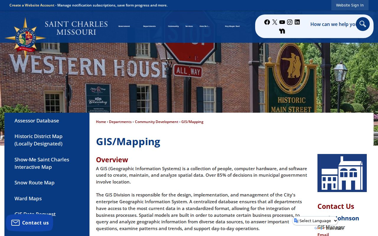
Use a city layer beside county parcel geometry when a block crosses municipal and unincorporated context. Check the date and source of every map layer, because a spatial layer is not a promise that an ownership or address record has been updated at the same time.
Map a St. Charles Block and Owners
The adjacent-parcel method begins with one target, then expands only to the touching or nearby parcels visible on the official map. GIS can show a parcel edge, but the Assessor and Recorder provide the record needed to support an ownership statement. Roads, alleys, creeks, common areas, outlots, and noncontiguous tracts can all complicate the plain-language idea of “next to,” so retain the parcel identifier and legal description with every note.
- Enter the target address in county GIS and select the mapped parcel.
- Zoom until parcel lines around the target are visible, then click each adjacent parcel and record its parcel or account identifier and legal description.
- Use Identify or query attributes when available, and compare the returned parcel identifier with the County Assessor Property Database.
- Confirm a recorded ownership trail through Recorder Land Records, noting instrument date and legal description rather than guessing from a map label.
- Turn on district, subdivision, aerial, zoning, flood, and voting layers only when they answer a geographic question about the same parcel.
This sequence is target address to GIS neighbors to Assessor or Recorder confirmation. For a full named-street records chain rather than one immediate block, use the St. Charles Street Directory.
St. Charles Neighbor Categories Differ
Four labels commonly get collapsed into one claim about St. Charles neighbors. They should not. A public record must be described by the relationship it actually records, and a missing result should remain a gap. This is especially important where ownership is held by a trust, an entity, or an out-of-area tax contact.
| Category | What the label means | What it does not establish |
|---|---|---|
| Neighboring parcel owner | Person or entity named on an assessment or recorded ownership record for a nearby parcel | Every person who lives at that parcel. |
| Registered voter | Person represented in a permitted voter record at an address, subject to confidentiality rules | Ownership, a full household, or a public street roster. |
| Historical occupant | Person tied to an address in a dated directory, census, obituary, or other period source | Current presence at the address. |
| Current household member | A person presently living at an address | A fact the parcel, deed, or old directory alone can prove. |
Keep those labels separate in any personal notes. A situs address is the physical parcel address, while a tax mailing address is where correspondence goes. Neither is a complete resident roster. The same care applies when an assessment record lags a recent deed recording.
St. Charles Neighbors and Voter Records
Missouri makes a limited electronic or print voter extract public under RSMo 115.157. The permitted fields include a unique voter ID, name, year of birth, address components, and district fields. Full date of birth, SSN, and ballot choices are not public extract fields. The state Voter Outreach lookup asks for first name, last name, date of birth, last four SSN digits, and county to confirm one registration. It does not display a block roster.
For a broader, lawful request, contact the St. Charles County Election Authority and state the election or cycle, precinct or district scope, requested public fields, delivery format, and intended statutory use. The research did not locate a current county request form, fee, or exact file layout. Protected voters and Safe at Home participants override ordinary map adjacency, and precinct lines can change between cycles.
Note: Date any voter file to its election or precinct definition, because an inactive or cancelled status is not a reliable move date.
St. Charles Neighbor Civic Geography
Research did not locate a county-wide neighborhood-association or HOA directory with public member lists. That gap matters. Public geography is available, but a municipality, district, preservation area, congregation, or civic group contact page is not a membership roll. Use the following official geography resources to understand boundaries and public services around a St. Charles block without turning them into a list of private households.
County Political Subdivisions
St. Charles County Political Subdivisions lists municipalities and school, college, fire, ambulance, water, and sewer districts. It is a public geography and contact layer, not a resident directory.
City Historic Geography
The city’s mapping resources identify South Main, Historic Downtown, Frenchtown, Commons, Landmarks, and Extended Historic Preservation areas. Historic designation explains local context, not ownership, occupancy, or a private roster.
The city mapping resources also show context for Commons, Frenchtown, Lindenwood, Midtown, and Saint Charles historic areas. Those names can help interpret an older address or map. District boundaries, school service areas, utilities, voting geography, and municipal limits may cross each other, so compare the relevant GIS layers instead of assuming a ZIP or neighborhood label answers every location question.
St. Charles Neighbor History Sources
When the question concerns a past block, use a record made in that period. Historical directories can place an occupant at an address for a publication year, while Sanborn sheets and aerials show building, lot, street, and land-use context. The St. Charles County Historical Society holds court, probate, obituary, funeral-home, church, cemetery, newspaper, atlas, plat, map, and photograph material. Its collection provides local context where an online parcel or voter tool has no historical answer.
The Society’s local court guide distinguishes dockets, record books, and case files, and nineteenth-century material can contain French or German spelling variants. Search variant surnames and compare the original scan where an index looks implausible. A historic district and a historic map are records of place and time, not evidence of a present household. The County’s public layers give the best geography, while library and Society collections supply the dated historical trail.
Note: A historic address entry should be read with its publication year, not treated as evidence of a current household.
St. Charles Neighbors Source Comparison
Official records and commercial neighbor tools do different things. A county record has a stated custodian and a defined purpose, even when it has gaps. Commercial tools combine property, marketing, and public data, which can conflate people, lag behind a move, or attach the wrong household. Treat each result as a source to check, not a shortcut around the underlying record or a privacy rule.
| Category | Official record route | Commercial neighbor-tool category |
|---|---|---|
| Parcel relationship | GIS, Assessor, and Recorder can establish mapped parcel and recorded ownership context. | May combine parcel and address material without showing record date or legal relationship. |
| Voter information | Election Authority controls permitted fields, file scope, and protected records. | Cannot override voter confidentiality or substitute for a qualified request. |
| Household claim | No county parcel record supplies a complete household list. | May match or conflate current and former people without proving they live there. |
For a city permit or code issue, ask the actual city custodian for the address, date span, and releasable record. City Community Development is the local route for address-linked permit questions, with phone contact at 636-949-3222. A request or call can clarify whether a record exists without asking staff to disclose private household details.
St. Charles Neighbor Privacy Limits
Safe use starts by leaving private data private. Do not publish an adjacent parcel’s full mailing address when parcel, street, and municipality context is enough. Utility customers, delivery records, nonowner occupants, full motor-vehicle addresses, protected voters, and confidential court or vital material are not a lawful route to identify neighbors. The Missouri Safe at Home program provides qualifying participants a substitute address, and protected-voter rules can withhold their physical address.
For a missing public county or city record, a Missouri Sunshine request goes to the actual custodian and should identify the record and date range, request electronic delivery, and accept redaction of closed portions. It cannot compel disclosure of a protected address or information closed by another statute. If a public record appears wrong, ask the Assessor, Recorder, Election Authority, clerk, or other responsible office about that record instead of reposting the error.
Privacy and lawful personal use. Safe at Home and protected-voter rules can shield an address. Use block records for careful geographic, family-history, or civic research, never to stalk, harass, intimidate, or harm anyone.